Science Data Reference Systems
Advertisement
GrADS v.2.0a7.oga.3
The Grid Analysis and Display System (GrADS) is an interactive desktop tool for easy access, manipulation, and visualization of earth science data.
Advertisement
E3 v.3.2.0.260
Create and support supervision, control, and data acquisition systems of any size or complexity, and turn data into management information about your company Elipse E3 is a complete system of process supervision and control, developed to meet the lat
PDF OwnerGuard v.7 6
OwnerGuard is a new technology in digital rights management and data protection systems which is designed specially for file distribution and licensing over internet and local networks.
GEDCOM Import/Export-Filter v.1.0
Target is develop import and export filter for various data base systems from and to GEDCOM and GedXML (the XML specification of GEDCOM).
Papco v.6
PaPCo is modular IDL software for the analysis, distribution and display of science data products.
The Eigenbase Project v.rc.0.9.3
The Eigenbase Project is an open-source platform for building advanced data management systems, and is backed by a non-profit organization which designs, develops, and promotes it.
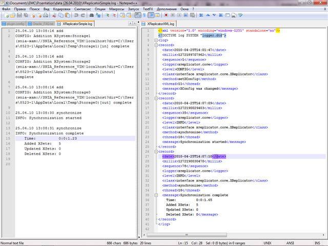
XReplicator v.1.0
This program replicates data storage systems of XAM (eXtensible Access Method) technology.
SMath Studio v.0.89 Build 3856
SMath Studio - is a math software with 'paper'-like interface and numerous computing features. It has an capability to work with systems, matrices, vectors, complex numbers, infinities and fractions. SMath Studio supports 18-th interface languages,
Panoply v.3.1.4 Build C6U1
Panoply is a cross-platform software which plots geo-gridded arrays from netCDF, HDF and GRIB datasets. Panoply is an utility that enable user to plot raster image. Depending on the data,
PHOTOMOD GeoCalculator v.4.4.682
PHOTOMOD GeoCalculator is the software for points coordinates transformation, included in the PHOTOMOD system, as well as a stand-alone free application.